
Oceanside ZIP Codes for Orientation
USPS ZIP Codes describe delivery service, not a civic map. For an Oceanside ZIP code directory, the rows below provide a working orientation for address research. They name the broad sections associated with each ZIP without claiming that every neighborhood, parcel, or federal tract fits neatly inside one postal line.
| ZIP | Areas Covered | Post Office/Service | Boundary Notes |
|---|---|---|---|
| 92054 | Downtown, coast, harbor, South Oceanside, western central | Street delivery; Oceanside main postal identity | Coast-facing areas still need parcel-by-parcel city checks |
| 92056 | Southeastern and central Oceanside, Tri-City, Lake and College vicinity | Street delivery | Interfaces with Carlsbad and Vista postal geographies |
| 92057 | Northeastern Oceanside, San Luis Rey, Ivey Ranch, Rancho del Oro, Guajome vicinity | Street delivery | Approaches county areas and Camp Pendleton edges |
| 92058 | North-central, Mission, San Luis Rey, Camp Pendleton edge | Street delivery | Military or federal land and the city line do not follow the ZIP edge |
| 92049 | Oceanside PO boxes | PO-box mailing ZIP | Not a residential geographic district |
| 92051 | Oceanside PO boxes and organizational mailing use | Verify each mailing with USPS | Not a safe neighborhood boundary |
| 92055 | Camp Pendleton | Federal installation postal ZIP | Mailing references to Oceanside do not make it an ordinary city neighborhood |
These area names are orientation only. USPS does not publish a simple official neighborhood-to-ZIP table or a public boundary shapefile for this use. Exact station names, historic ZIP splits, and realignment history were not located in the authoritative material reviewed. Confirm a particular address with the postal lookup before treating a ZIP as a search key.
The official USPS ZIP Code Lookup is the right first check for an address or city-by-ZIP question.
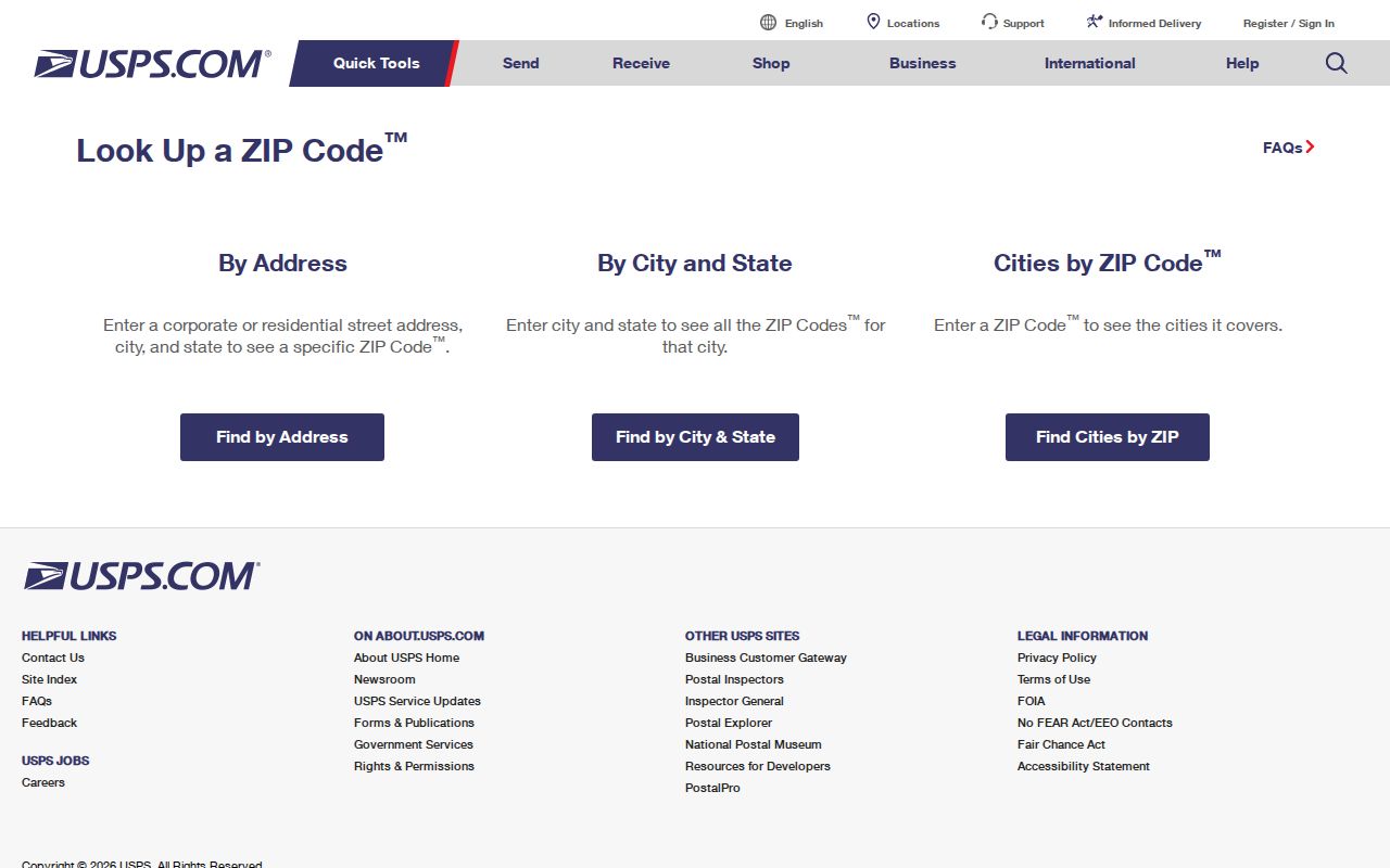
The postal result supplies delivery orientation. It does not supply an owner, occupant, parcel boundary, or proof of municipal jurisdiction.
Oceanside Mailing ZIPs and 92055
ZIP 92049 and ZIP 92051 are mailing clues, not neighborhood rosters. Research notes identify 92049 with Oceanside PO boxes and 92051 with PO-box or organizational mailing use. A PO-box address routes letters to a box. It does not place a person at a street parcel, and it should not be used to draw a residential map. Use USPS for the exact mailing question, then seek a separate lawful record if the task concerns a parcel or a person.
ZIP 92055 needs a different reading. It is the Camp Pendleton federal installation ZIP. A mailing label may use Oceanside while the underlying land is federal and outside an ordinary Oceanside neighborhood. Keep the postal label, the installation context, and the city or county jurisdiction as separate facts when checking a name, address, service connection, or historical notice.
Verify Oceanside ZIPs Before Searching
Start with USPS address validation. Then place the address in the City of Oceanside GIS viewer, which can locate an address or an intersection and show parcel and layer context. A legal description or recorded subdivision map is the stronger bridge when a postal label, old street name, and city line do not agree.
GIS can work from the current view, a point, a shape, or a feet-based buffer, but it is not a confirmed ZIP-wide owner search. An address that looks like an Oceanside mailing address may touch Carlsbad, Vista, unincorporated county land, harbor or federal land. Check the parcel and legal description before joining records by ZIP.
Find Oceanside Residents by ZIP Code
A ZIP code directory workflow narrows geography first and identifies the record role second. A delivery label can help find the right place, but it cannot by itself prove residence, ownership, voter status, or occupancy.
- Verify the full address and ZIP with USPS, including the postal city returned for the address.
- Open Oceanside GIS, search the address or use the documented intersection format, such as
Street A & Street B, and note the situs, APN, parcel shape, and jurisdiction layers. - Use the county secured assessment roll with the APN. It returns assessment facts and values, not a ZIP-wide owner list or web owner name.
- For title context, use the San Diego County ARCC Official Records Index from 1970 forward. APN web searching was removed on December 9, 2024; images require purchase or a mail or copy request, or an office kiosk. Older title work uses kiosks, book or page references, or County Archives and recorder staff.
- For a voter’s own status, enter the required name, birth date, residence address, and ZIP in the county self-lookup. Do not treat it as an open roster.
- Once a ZIP is narrowed to a street, use the Oceanside street directory workflow to inspect addresses one parcel at a time.
The sequence prevents a mailing-only ZIP or installation ZIP from becoming a false resident list. Keep the search date, exact address spelling, source, and record role with each result.
Oceanside ZIP Search Limits
No reviewed Oceanside or San Diego County portal exposes a confirmed ZIP-wide owner query. Each system answers a narrower question.
| Source | ZIP Input | Useful Result | Limit |
|---|---|---|---|
| USPS ZIP Lookup | Address or city and state | ZIP and postal-city validation | Delivery geography only |
| Oceanside GIS | Address, intersection, view or buffer | Parcel shape, APN, layers, nearby features and table tools | No confirmed ZIP-wide owner query; exports vary |
| 2026 Secured Assessment Roll | APN required, not ZIP | Assessment components, exemptions and value context | Online owner name is suppressed |
| ARCC Official Records | Party, date or document type | Indexed real-property metadata from 1970 forward | APN web search removed; images use copy or kiosk channels |
When a parcel question reaches a gap, the Oceanside eTRAKiT permit and property portal offers a preview route, but its page is labeled pre-production and a records request may be needed. The City Clerk also has a public-record request channel for city-held records. Those routes add address evidence; they do not turn ZIP geography into an occupancy roll.
Oceanside Voter Lookup by ZIP
The San Diego County Voter Information Lookup is self-authenticated. It asks the voter to match several fields, so a failed result can reflect a different address, birth date, ZIP, or registered name. It does not return a ZIP-wide list of voters.
| Field | Required Entry | What It Does |
|---|---|---|
| First Name | Yes, registered form | Matches the voter record |
| Last Name | Yes, registered form | Matches the voter record |
| Date of Birth | Yes, MM/DD/YYYY | Authenticates the lookup |
| Residence Address | Yes, San Diego County address | Checks the residence on file |
| ZIP Code | Yes, must match the file | Checks the postal portion of the record |
| Submit or Lookup | Button | Returns voter-specific status and election data |
For questions about the self-lookup, the county notice lists rovmail@sdcounty.ca.gov and (858) 565-5800, with the Secretary of State at (916) 657-2166. A qualifying full-file request uses the Registrar of Voters data application, original signature, a stated authorized purpose, and security details. Applications go by mail or in person to 5600 Overland Avenue, San Diego, California 92123; emailed and faxed applications are not accepted. The office lists 8:00 a.m. to 5:00 p.m. Monday through Friday, with possible election-season expansion, and a mailing address of P.O. Box 85656, San Diego, California 92186-5656. Safe at Home participants can register confidentially.
Oceanside ZIP Codes and City Limits
A ZIP Code is a delivery geography, not an incorporation line. ZIP 92056 interfaces with Carlsbad and Vista postal geographies. ZIP 92057 approaches county areas and Camp Pendleton edges. ZIP 92058 includes north-central and Mission or San Luis Rey orientation near military or federal land. The mailing city “Oceanside” alone does not prove that a parcel sits inside the municipal boundary.
- ZIP Code
- A five-digit delivery area used to route mail. It may cross a city edge or include land with a different governing authority.
- ZIP+4
- An added four-digit delivery segment that narrows routing inside a ZIP. It is not a parcel identifier or a resident record.
- PO-box or unique ZIP
- A ZIP assigned for box service or a defined organization or installation. It should not be read as a neighborhood boundary.
- Carrier route
- A delivery grouping used by the postal service. It is a mail-operation layer, not a public list of occupants.
For an exact boundary question, compare USPS validation with Oceanside GIS, then read the parcel’s legal description and any recorded subdivision map. Do not substitute a ZIP, ZIP+4, or carrier route for the situs parcel.
Oceanside Postal, Situs, and APN
The postal city is the label used for delivery. The situs address identifies the physical parcel. The APN is the county’s administrative parcel number, while the legal description defines the land through a lot, block, subdivision, or other recorded description. Keeping those fields apart is the key to a sound ZIP search.
The San Diego County secured assessment roll requires an APN and does not offer a confirmed ZIP-wide owner search. California’s online owner-name suppression means the roll supplies assessment components, exemptions, and value context rather than a simple owner result. A mailing address can belong to a remote owner, trust, manager, or alternate contact. It is not proof that the addressee occupies the parcel.
Oceanside Street Names and ZIP Context
Older deeds, directories, photographs, and newspaper notices may use a street name that no longer appears in the USPS result. The local crosswalk is First Street to Seagaze, Second Street to Mission Avenue, Third Street to Pier View Way, Fourth Street to Civic Center Drive, Hill Street to Coast Highway, and Couts Street to Wisconsin. A historic source tied to one of those names needs a map or legal description before it is joined to a modern ZIP.
The crosswalk helps explain apparent gaps, especially near downtown, the coast, and the old pier sites. Compare the old label with GIS, a recorded subdivision map, and the relevant Oceanside directory book source before deciding that a household or parcel falls outside the search. A careful Oceanside ZIP code directory keeps ZIP geography as orientation, while parcel continuity remains the stronger bridge across street renaming, subdivision changes, and city-edge questions.